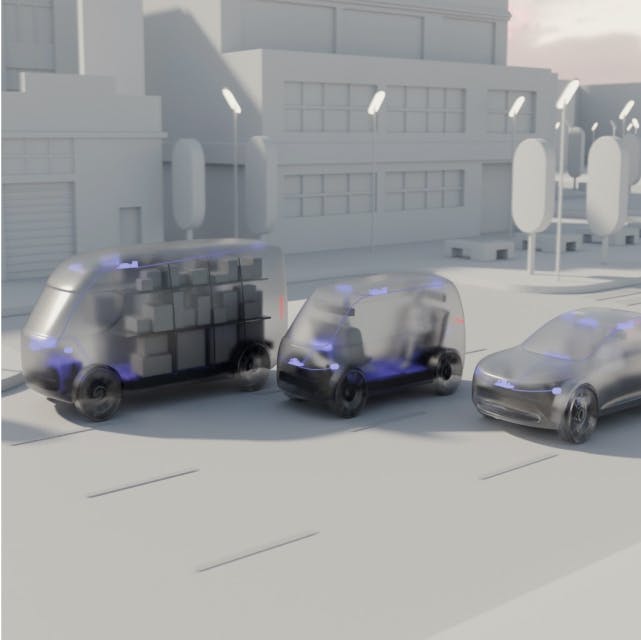
TechCrunch, April 9, 2025
Nuro’s $106M raise backs its shift from delivery robots to licensing autonomy tech
An example HD Map generated from collected data, merged together into a geometric map, and then labeled with HD map representing the semantic knowledge of the scene.
This image shows pictures of an example intersection (top) which underwent map change due to construction. Below is the corresponding top down polyline representation of the lane markings, curbs, driveways, and lane centers (bottom).
High level architecture for traditional HD maps. Labels are labeled by hand and passed directly onboard. During deployment, change detection systems detect discrepancies with the offboard map to ensure safe operation.
High level architecture for an online only HD map prediction model. Here, a model is trained to predict polyline features ahead of time by fusing sensor information in the Birds Eye View (BEV) encoder, and then decoded into the map ahead of time. At runtime, the downstream autonomy system uses these predictions directly to understand the environment using only sensor data.
High level architecture for a hybrid HD map prediction model, which learns to fuse information from an offboard HD map prior and onboard sensors to predict the final polylines.
These are some examples of synthetic HD map prior changes we evaluated in our recent publication. Some vary from minor changes to major changes to the positions or semantic meaning of the polylines in the region.